
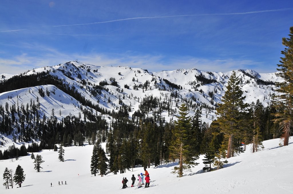
Alpine Meadows Overview
Overview
Right now
Plan with SnowSignals
Get live snow conditions in the app, know where to go, and make the most of your Alpine Meadows day.
Explore Alpine Meadows
View advanced ski plans and browse the mountain guide
Last updated Jul 15, 2026, 8:39 PM. Sources: NWS, NOAA, CPC, GOES-18.
Plan with SnowSignals
Get live snow conditions in the app, know where to go, and make the most of your Alpine Meadows day.
Explore Alpine Meadows
View advanced ski plans and browse the mountain guide
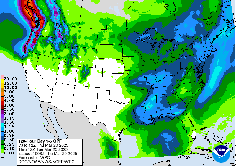
Recent & Upcoming Snowfall
Snowfall over the past 7 days and forecasted for the next 7 days.
No measurable snowfall in the past 7 days or upcoming forecast period.
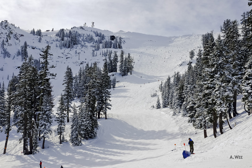
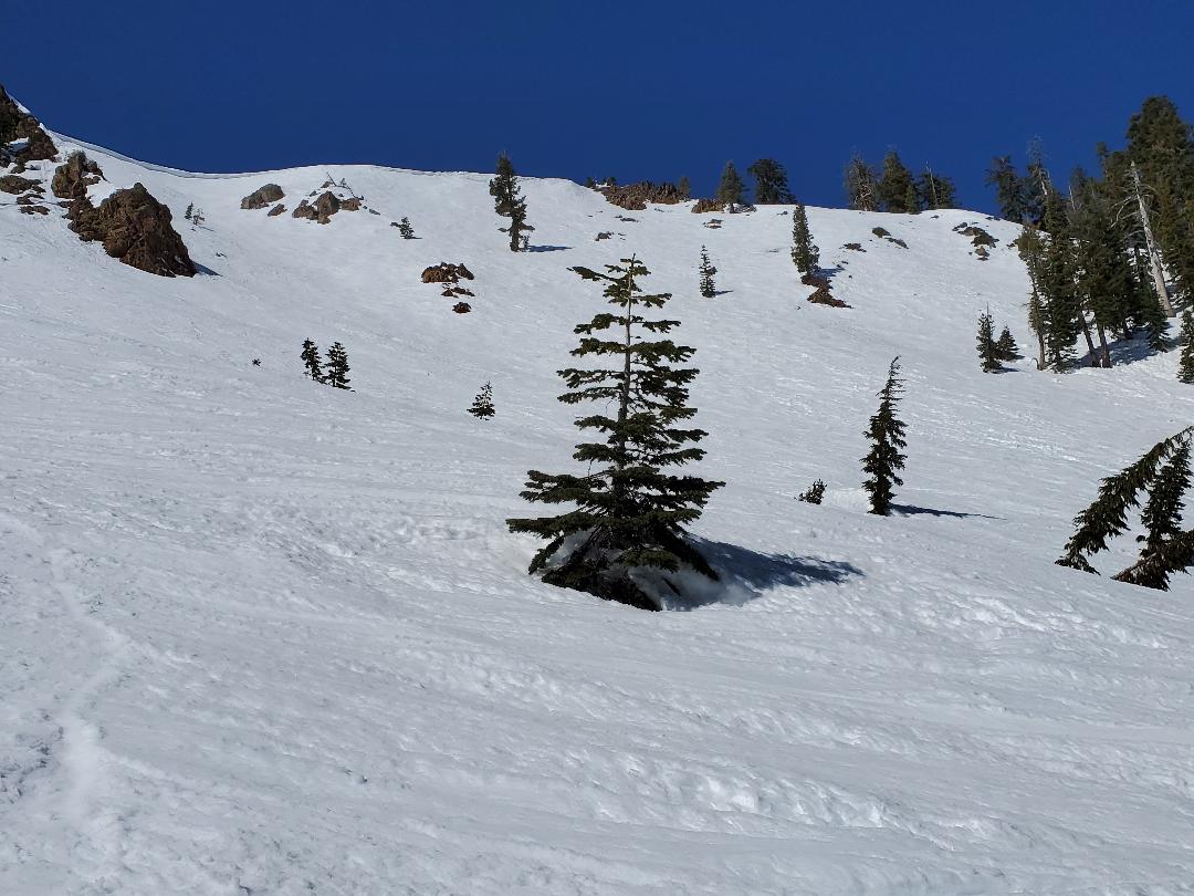
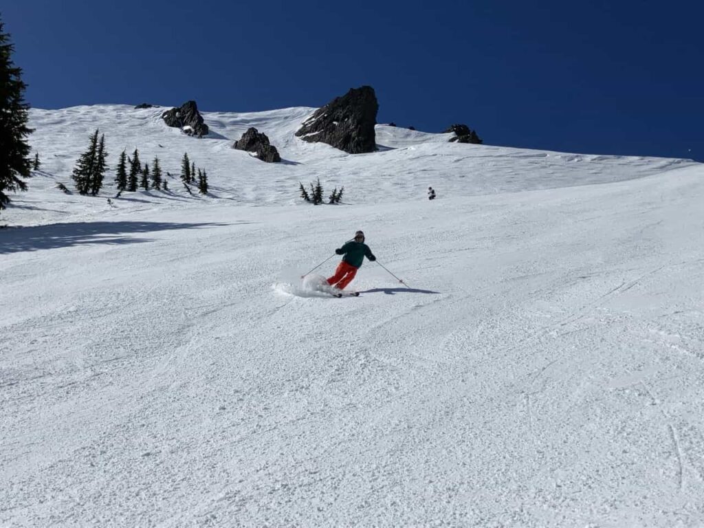
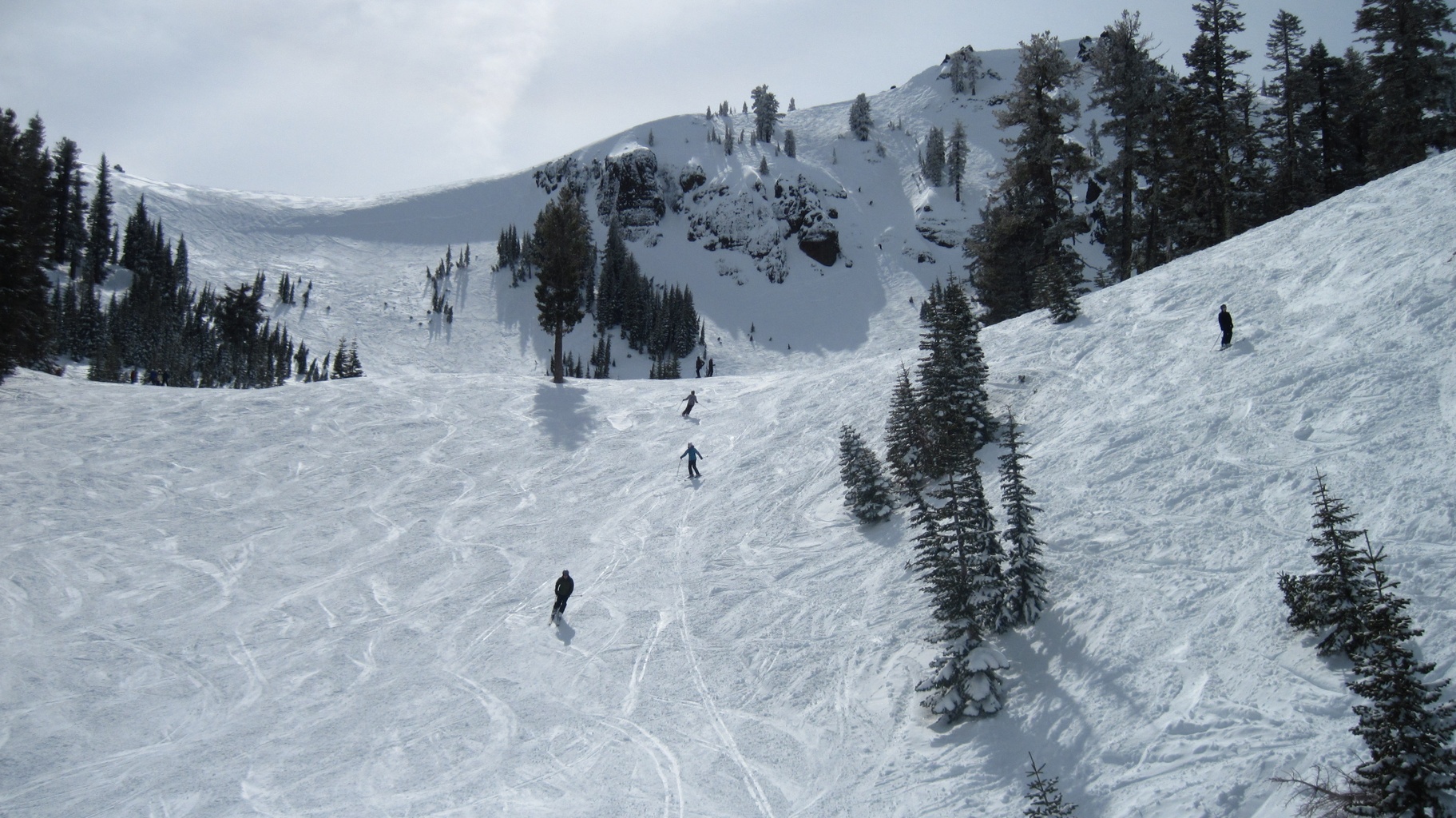
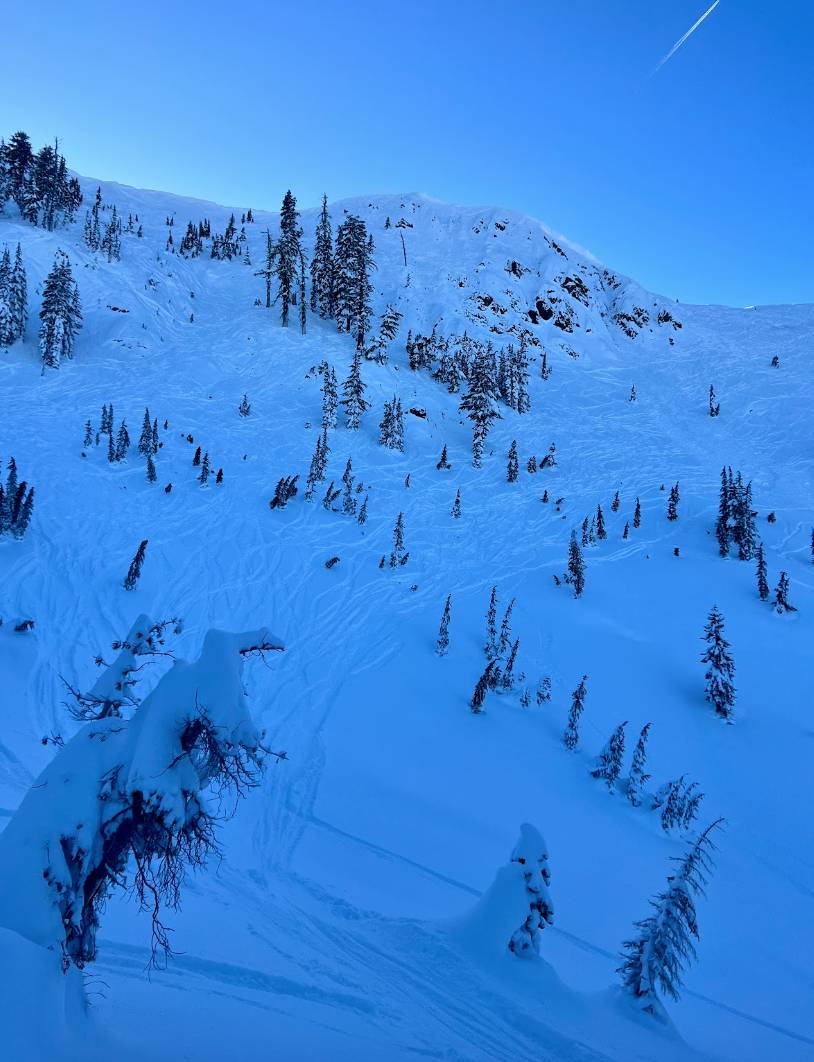
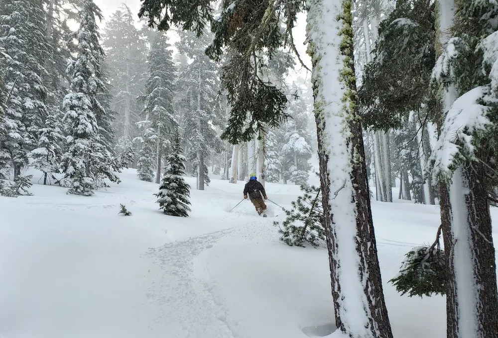
How Alpine Meadows Skis
Mountain zone overview with skier-feel and sample day plans.
Alpine Meadows has 19 distinct zones, each with unique terrain, aspect, and conditions characteristics.
Satellite & Radar
Loading...

Loading...

Outlook
6-10 Day Outlook
Loading...

Loading...

30 Day Outlook
Loading...

Loading...

Long Range Outlook
Loading...

Loading...

Road Conditions
Interstate 80
IN THE NORTHERN CALIFORNIA AREA & SIERRA NEVADA
Is closed to eastbound traffic at Blue Canyon /at Blue Canyon Rd/ (Placer Co) from 2300 hrs each night to 1200 hrs each afternoon Monday thru Friday thru 7/17/26 - Due to construction - Motorists are advised to use an alternate route All westbound trucks are required to stop at the brake check area 0.5 mi west of Nyack (Placer Co) - To reduced the risk of brake fires
Interstate 50
IN THE SACRAMENTO VALLEY & THE LAKE TAHOE BASIN
1-way controlled traffic at various locations from 5.9 mi east of Pollock Pines /at Bridal Veil Falls Rd/ to 5.2 mi west of Kyburz /at Alder Creek Rd/ (El Dorado Co) from 1900 hrs each night to 0600 hrs each morning Monday thru Saturday thru 7/18/26 - Due to construction
Interstate 88
IN THE CENTRAL CALIFORNIA AREA & SIERRA NEVADA
No traffic restrictions are reported for this area.
Webcams
Helpful Links
- SnowSignals AppZone-by-zone surface forecast and daily ski plan
- Sierra Avalanche CenterAvalanche forecasts and safety information
- Mountain WeatherMountain-specific weather forecasts
- SpotWxDetailed spot forecasts for any location
- NWS Reno OfficeNational Weather Service Reno office
- NWS Point ForecastOfficial point forecast for this location
- Weather StationsCurrent weather warnings and hazards
- Wind VisualizationInteractive global wind patterns
- Tropical TidbitsAdvanced weather model analysis
- Caltrans Road InformationCurrent official Caltrans road conditions
- Caltrans Quick MapInteractive official map of California roads
Ready to Plan Your Day?
Get daily ski plans and on-the-ground conditions for Alpine Meadows and your favorite slopes in Lake Tahoe.
Open SnowSignals